
Thank you for supporting this site ❤️
Make a donation
Make a donation
Parkland topographic map
Click on the map to display elevation.
Thank you for supporting this site ❤️
Make a donation
Make a donation
About this map
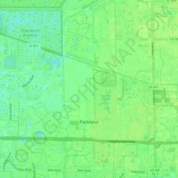
Name: Parkland topographic map, elevation, terrain.
Location: Parkland, Broward County, Florida, United States (26.29575 -80.29708 26.35549 -80.20241)
Average elevation: 7 m
Minimum elevation: -4 m
Maximum elevation: 11 m
Thank you for supporting this site ❤️
Make a donation
Make a donation