
Thank you for supporting this site ❤️
Make a donation
Make a donation
Middleberg topographic map
Click on the map to display elevation.
Thank you for supporting this site ❤️
Make a donation
Make a donation
About this map
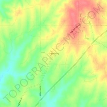
Name: Middleberg topographic map, elevation, terrain.
Location: Middleberg, Grady County, Oklahoma, United States (35.08618 -97.75504 35.12618 -97.71504)
Average elevation: 392 m
Minimum elevation: 357 m
Maximum elevation: 425 m
Thank you for supporting this site ❤️
Make a donation
Make a donation