
Lincent topographic map
Interactive map
Click on the map to display elevation.
About this map
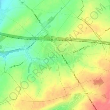
Name: Lincent topographic map, elevation, terrain.
Location: Lincent, Waremme, Liège, Wallonie, Belgique (50.69848 5.00911 50.72606 5.06086)
Average elevation: 101 m
Minimum elevation: 66 m
Maximum elevation: 135 m