
The Dark Hedges topographic map
Interactive map
Click on the map to display elevation.
About this map
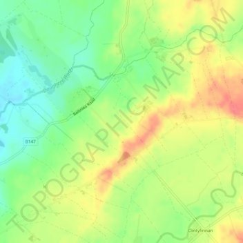
Name: The Dark Hedges topographic map, elevation, terrain.
Average elevation: 74 m
Minimum elevation: 44 m
Maximum elevation: 105 m
Other topographic maps
Click on a map to view its topography, its elevation and its terrain.
Rock Cottage
United Kingdom > Northern Ireland > County Antrim
Rock Cottage, County Antrim, Northern Ireland, BT57 8XY, United Kingdom
Average elevation: 117 m