
Langis topographic map
Interactive map
Click on the map to display elevation.
About this map
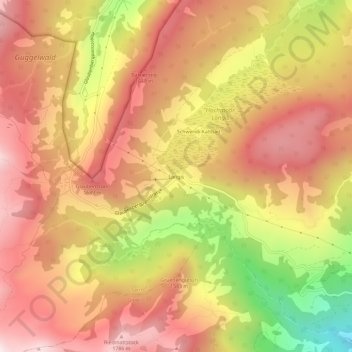
Name: Langis topographic map, elevation, terrain.
Location: Langis, Sarnen, Obwalden, Schweiz (46.87299 8.10526 46.91299 8.14526)
Average elevation: 1,486 m
Minimum elevation: 964 m
Maximum elevation: 1,813 m
Other topographic maps
Click on a map to view its topography, its elevation and its terrain.
Sewenseeli 1689m
Sewenseeli 1689m, Ober Sewen, Sarnen, Obwalden, Schweiz
Average elevation: 1,700 m