
Grone topographic map
Interactive map
Click on the map to display elevation.
About this map
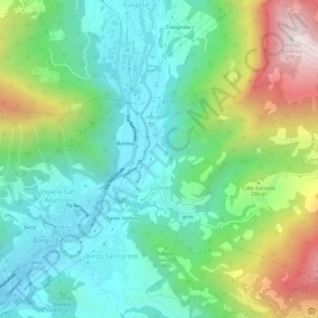
Name: Grone topographic map, elevation, terrain.
Location: Grone, Bergame, Lombardie, Italie (45.71666 9.90196 45.74507 9.95599)
Average elevation: 585 m
Minimum elevation: 284 m
Maximum elevation: 1,267 m