
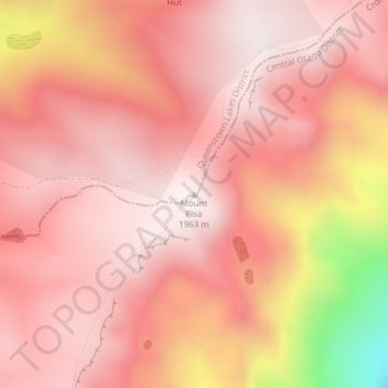
Mount Pisa topographic map
Interactive map
Click on the map to display elevation.
About this map
Name: Mount Pisa topographic map, elevation, terrain.
Location: Mount Pisa, Queenstown-Lakes District, Otago, New Zealand (-44.87210 169.19076 -44.87200 169.19086)
Average elevation: 1,739 m
Minimum elevation: 1,055 m
Maximum elevation: 1,959 m
Other topographic maps
Click on a map to view its topography, its elevation and its terrain.
Queenstown
New Zealand > Otago > Queenstown-Lakes District
Queenstown, Queenstown-Lakes District, Otago, 9348, New Zealand
Average elevation: 592 m
Makarora River
New Zealand > Otago > Queenstown-Lakes District
Makarora River, Queenstown-Lakes District, Otago, 9346, New Zealand
Average elevation: 1,081 m