
Thank you for supporting this site ❤️
Make a donation
Make a donation
Sweetwaters topographic map
Click on the map to display elevation.
Thank you for supporting this site ❤️
Make a donation
Make a donation
About this map
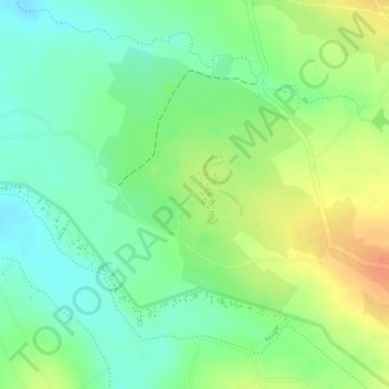
Name: Sweetwaters topographic map, elevation, terrain.
Location: Sweetwaters, Laikipia County, Kenya (-0.00746 36.93496 0.01254 36.95496)
Average elevation: 1,799 m
Minimum elevation: 1,778 m
Maximum elevation: 1,824 m
Thank you for supporting this site ❤️
Make a donation
Make a donation