
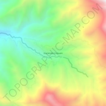
Hacienda Llaguen topographic map
Interactive map
Click on the map to display elevation.
About this map
Name: Hacienda Llaguen topographic map, elevation, terrain.
Location: Hacienda Llaguen, Sinsicap, Otuzco, La Libertad, Perú (-7.74536 -78.75973 -7.70536 -78.71973)
Average elevation: 2,466 m
Minimum elevation: 1,888 m
Maximum elevation: 3,250 m