
Blue Hill topographic map
Interactive map
Click on the map to display elevation.
About this map
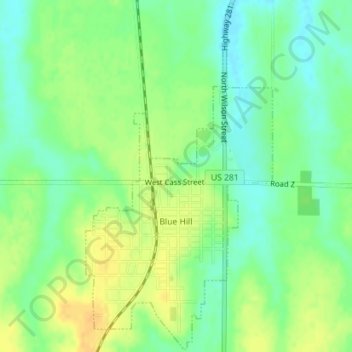
Name: Blue Hill topographic map, elevation, terrain.
Location: Blue Hill, Webster County, Nebraska, 68930, United States (40.32278 -98.45788 40.34938 -98.43908)
Average elevation: 596 m
Minimum elevation: 582 m
Maximum elevation: 610 m
Other topographic maps
Click on a map to view its topography, its elevation and its terrain.
Cowles
United States > Nebraska > Webster County
Cowles, Webster County, Nebraska, United States
Average elevation: 557 m
Red Cloud
United States > Nebraska > Webster County > Red Cloud
Red Cloud, Webster County, Nebraska, United States
Average elevation: 525 m