
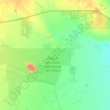
Gran Chaco topographic map
Interactive map
Click on the map to display elevation.
About this map
Name: Gran Chaco topographic map, elevation, terrain.
Average elevation: 166 m
Minimum elevation: 88 m
Maximum elevation: 804 m
Large tracts of the central and northern Chaco have high soil fertility, sandy alluvial soils with elevated levels of phosphorus, and a topography that is favorable for agricultural development. Other aspects are challenging for farming: a semiarid to semihumid climate (600–1300 mm annual rainfall) with a six-month dry season and sufficient fresh groundwater restricted to roughly one-third of the region, two-thirds being without groundwater or with groundwater of high salinity. Soils are generally erosion-prone once the forest has been cleared. In the central and northern Paraguay Chaco, occasional dust storms have caused major topsoil loss.