
Tankwa Karoo National Park - Gate - No Entry topographic map
Interactive map
Click on the map to display elevation.
About this map
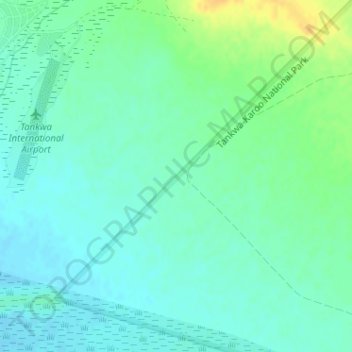
Name: Tankwa Karoo National Park - Gate - No Entry topographic map, elevation, terrain.
Average elevation: 318 m
Minimum elevation: 309 m
Maximum elevation: 339 m
Other topographic maps
Click on a map to view its topography, its elevation and its terrain.
Akkerendam Nature Reserve
South Africa > Northern Cape > Namakwa District Municipality > Hantam Local Municipality > Calvinia
Average elevation: 1,192 m
Verneukpan
South Africa > Northern Cape > Namakwa District Municipality > Hantam Local Municipality
Average elevation: 879 m