
Bonga topographic map
Interactive map
Click on the map to display elevation.
About this map
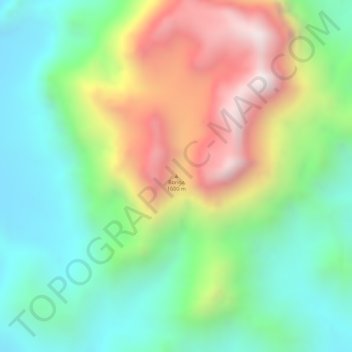
Name: Bonga topographic map, elevation, terrain.
Location: Bonga, Quilengues, Huíla, Angola (-14.26667 13.96645 -14.26657 13.96655)
Average elevation: 1,362 m
Minimum elevation: 1,051 m
Maximum elevation: 1,839 m