
Sá topographic map
Interactive map
Click on the map to display elevation.
About this map
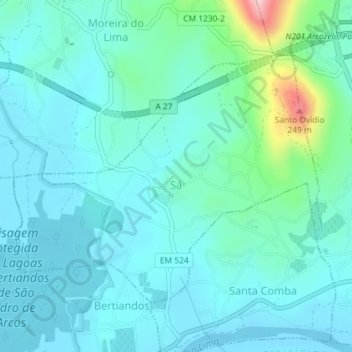
Name: Sá topographic map, elevation, terrain.
Location: Sá, Ponte de Lima, Viana do Castelo, Nord, Portugal (41.76560 -8.63528 41.78501 -8.60353)
Average elevation: 44 m
Minimum elevation: -2 m
Maximum elevation: 271 m