
Colares topographic map
Interactive map
Click on the map to display elevation.
About this map
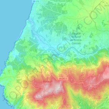
Name: Colares topographic map, elevation, terrain.
Location: Colares, Sintra, Lisboa, 2705-180, Portugal (38.75918 -9.48622 38.83918 -9.40622)
Average elevation: 155 m
Minimum elevation: 0 m
Maximum elevation: 485 m