
Oaktree topographic map
Click on the map to display elevation.
About this map
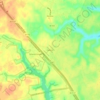
Name: Oaktree topographic map, elevation, terrain.
Location: Oaktree, York County, Virginia, 23090, United States (37.31348 -76.72468 37.35348 -76.68468)
Average elevation: 24 m
Minimum elevation: 0 m
Maximum elevation: 40 m