
Çakmaklı topographic map
Interactive map
Click on the map to display elevation.
About this map
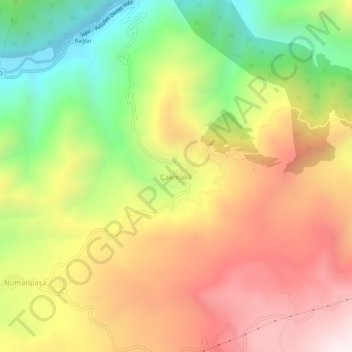
Name: Çakmaklı topographic map, elevation, terrain.
Location: Çakmaklı, İspir, Erzurum, Eastern Anatolia Region, Turkey (40.53964 41.11623 40.57964 41.15623)
Average elevation: 1,557 m
Minimum elevation: 969 m
Maximum elevation: 2,128 m