
Mesones topographic map
Interactive map
Click on the map to display elevation.
About this map
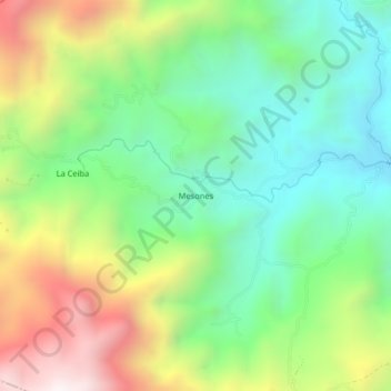
Name: Mesones topographic map, elevation, terrain.
Location: Mesones, Ocaña, Teorama, Norte de Santander, Colombia (8.54851 -73.30564 8.58851 -73.26564)
Average elevation: 875 m
Minimum elevation: 440 m
Maximum elevation: 1,616 m