
Thank you for supporting this site ❤️
Make a donation
Make a donation
Chiemsee topographic map
Click on the map to display elevation.
Thank you for supporting this site ❤️
Make a donation
Make a donation
About this map
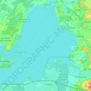
Name: Chiemsee topographic map, elevation, terrain.
Location: Chiemsee, Landkreis Traunstein, Beieren, Duitsland (47.83140 12.36357 47.93349 12.53412)
Average elevation: 525 m
Minimum elevation: 511 m
Maximum elevation: 626 m
Thank you for supporting this site ❤️
Make a donation
Make a donation
Other topographic maps
Click on a map to view its topography, its elevation and its terrain.
Thank you for supporting this site ❤️
Make a donation
Make a donation
Thank you for supporting this site ❤️
Make a donation
Make a donation
Waginger See
Duitsland > Beieren > Landkreis Traunstein > Waging am See > Fisching
Average elevation: 464 m