
Oberlausitzer Heide- und Teichlandschaft topographic map
Interactive map
Click on the map to display elevation.
About this map
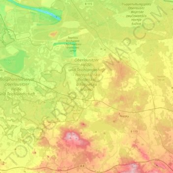
Name: Oberlausitzer Heide- und Teichlandschaft topographic map, elevation, terrain.
Average elevation: 155 m
Minimum elevation: 43 m
Maximum elevation: 299 m