
Ponte de Salir topographic map
Interactive map
Click on the map to display elevation.
About this map
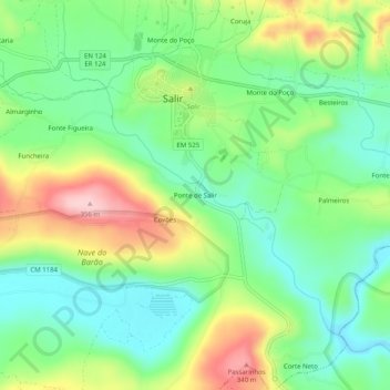
Name: Ponte de Salir topographic map, elevation, terrain.
Location: Ponte de Salir, Salir, Loulé, Faro, 8100-202, Portugal (37.21026 -8.06221 37.25026 -8.02221)
Average elevation: 222 m
Minimum elevation: 145 m
Maximum elevation: 357 m