
Thank you for supporting this site ❤️
Make a donation
Make a donation
Ebenhaezer topographic map
Click on the map to display elevation.
Thank you for supporting this site ❤️
Make a donation
Make a donation
About this map
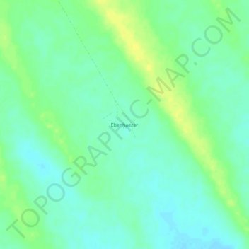
Name: Ebenhaezer topographic map, elevation, terrain.
Location: Ebenhaezer, Omaheke, Namibia (-23.28053 18.45349 -23.24053 18.49349)
Average elevation: 1,335 m
Minimum elevation: 1,327 m
Maximum elevation: 1,347 m
Thank you for supporting this site ❤️
Make a donation
Make a donation
Other topographic maps
Click on a map to view its topography, its elevation and its terrain.