
Saint-Gall topographic map
Interactive map
Click on the map to display elevation.
About this map
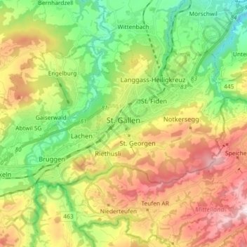
Name: Saint-Gall topographic map, elevation, terrain.
Location: Saint-Gall, Wahlkreis St. Gallen, Saint-Gall, Suisse (47.39516 9.29151 47.45308 9.43524)
Average elevation: 741 m
Minimum elevation: 467 m
Maximum elevation: 1,128 m