山南市 topographic map
Interactive map
Click on the map to display elevation.
About this map
Name: 山南市 topographic map, elevation, terrain.
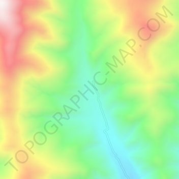
Average elevation: 4,640 m
Minimum elevation: 4,255 m
Maximum elevation: 5,166 m

Click on the map to display elevation.
Name: 山南市 topographic map, elevation, terrain.
Average elevation: 4,640 m
Minimum elevation: 4,255 m
Maximum elevation: 5,166 m