
Zeveneken topographic map
Interactive map
Click on the map to display elevation.
About this map
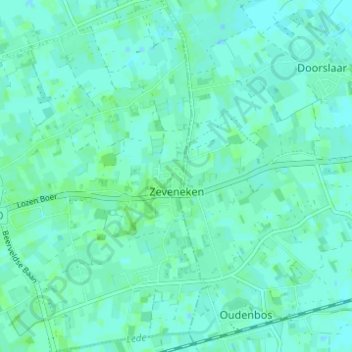
Name: Zeveneken topographic map, elevation, terrain.
Location: Zeveneken, Lochristi, Gent, East Flanders, Flanders, Belgium (51.09017 3.86252 51.12886 3.90536)
Average elevation: 5 m
Minimum elevation: 2 m
Maximum elevation: 8 m