
Nelson River topographic map
Interactive map
Click on the map to display elevation.
About this map
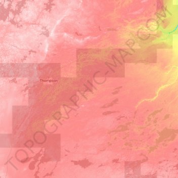
Name: Nelson River topographic map, elevation, terrain.
Location: Nelson River, Manitoba, R0B 0L0, Kanada (54.05899 -98.20628 56.97400 -92.65846)
Average elevation: 216 m
Minimum elevation: 39 m
Maximum elevation: 381 m
Other topographic maps
Click on a map to view its topography, its elevation and its terrain.