
Thank you for supporting this site ❤️
Make a donation
Make a donation
Chucás topographic map
Click on the map to display elevation.
Thank you for supporting this site ❤️
Make a donation
Make a donation
About this map
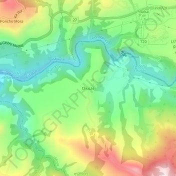
Name: Chucás topographic map, elevation, terrain.
Location: Chucás, Picagres, Mora, San José, 10705, Costa Rica (9.90535 -84.41199 9.94535 -84.37199)
Average elevation: 434 m
Minimum elevation: 208 m
Maximum elevation: 813 m
Thank you for supporting this site ❤️
Make a donation
Make a donation