
Thank you for supporting this site ❤️
Make a donation
Make a donation
Randolph County topographic map
Click on the map to display elevation.
Thank you for supporting this site ❤️
Make a donation
Make a donation
About this map
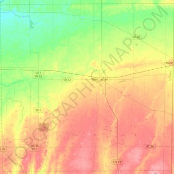
Name: Randolph County topographic map, elevation, terrain.
Location: Randolph County, Indiana, United States (40.00422 -85.21821 40.31025 -84.80358)
Average elevation: 332 m
Minimum elevation: 284 m
Maximum elevation: 384 m
Thank you for supporting this site ❤️
Make a donation
Make a donation
Other topographic maps
Click on a map to view its topography, its elevation and its terrain.