
Tshuapa topographic map
Interactive map
Click on the map to display elevation.
About this map
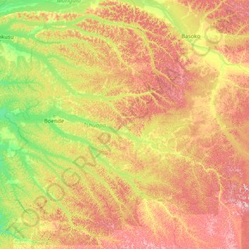
Name: Tshuapa topographic map, elevation, terrain.
Location: Tshuapa, RD Congo (-2.66879 19.46000 1.76262 24.41239)
Average elevation: 416 m
Minimum elevation: 314 m
Maximum elevation: 692 m