
Monte Loro topographic map
Interactive map
Click on the map to display elevation.
About this map
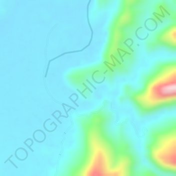
Name: Monte Loro topographic map, elevation, terrain.
Location: Monte Loro, Caño Negro, Puerto Boyacá, Boyacá, Colombia (5.93835 -74.33367 5.95835 -74.31367)
Average elevation: 222 m
Minimum elevation: 176 m
Maximum elevation: 437 m