
Osla topographic map
Click on the map to display elevation.
About this map
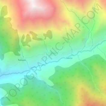
Name: Osla topographic map, elevation, terrain.
Location: Osla, Mori, Uttarkashi, Uttarakhand, India (31.09890 78.32277 31.13890 78.36277)
Average elevation: 3,157 m
Minimum elevation: 2,390 m
Maximum elevation: 4,370 m