
Pastoria topographic map
Interactive map
Click on the map to display elevation.
About this map
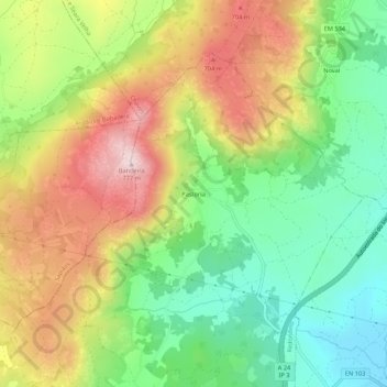
Name: Pastoria topographic map, elevation, terrain.
Location: Pastoria, Redondelo, Chaves, Vila Real, 5400-727, Portugal (41.71704 -7.57539 41.75704 -7.53539)
Average elevation: 546 m
Minimum elevation: 369 m
Maximum elevation: 773 m