
Thank you for supporting this site ❤️
Make a donation
Make a donation
Maclear topographic map
Click on the map to display elevation.
Thank you for supporting this site ❤️
Make a donation
Make a donation
About this map
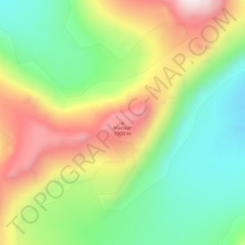
Name: Maclear topographic map, elevation, terrain.
Location: Maclear, Greenland (71.65248 -25.21539 71.65258 -25.21529)
Average elevation: 1,592 m
Minimum elevation: 1,327 m
Maximum elevation: 2,010 m
Thank you for supporting this site ❤️
Make a donation
Make a donation
Other topographic maps
Click on a map to view its topography, its elevation and its terrain.