
Ithaca topographic map
Interactive map
Click on the map to display elevation.
About this map
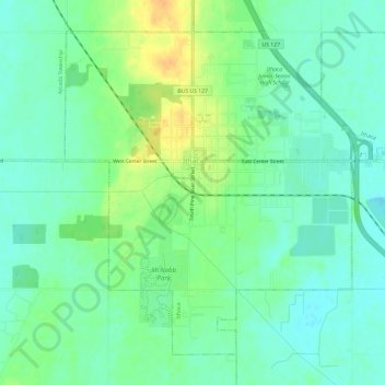
Name: Ithaca topographic map, elevation, terrain.
Location: Ithaca, Gratiot County, Michigan, United States (43.26989 -84.62732 43.30623 -84.56787)
Average elevation: 233 m
Minimum elevation: 221 m
Maximum elevation: 254 m
Other topographic maps
Click on a map to view its topography, its elevation and its terrain.
Emerson Township
United States > Michigan > Gratiot County
Emerson Township, Gratiot County, Michigan, United States
Average elevation: 226 m
Elba Township
United States > Michigan > Gratiot County
Elba Township, Gratiot County, Michigan, 48807, United States
Average elevation: 203 m
Elwell
United States > Michigan > Gratiot County > Elwell
Elwell, Seville Township, Gratiot County, Michigan, 48832, United States
Average elevation: 235 m
Ashley
United States > Michigan > Gratiot County > Ashley
Ashley, Elba Township, Gratiot County, Michigan, United States
Average elevation: 203 m