
Oliver Township topographic map
Interactive map
Click on the map to display elevation.
About this map
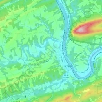
Name: Oliver Township topographic map, elevation, terrain.
Location: Oliver Township, Perry County, Pennsylvania, United States (40.45054 -77.17130 40.52756 -77.10211)
Average elevation: 184 m
Minimum elevation: 104 m
Maximum elevation: 443 m
Other topographic maps
Click on a map to view its topography, its elevation and its terrain.
Marysville
United States > Pennsylvania > Perry County
Marysville, Perry County, Pennsylvania, United States
Average elevation: 166 m
Montebello
United States > Pennsylvania > Perry County
Montebello, Perry County, Pennsylvania, United States
Average elevation: 185 m