
Thank you for supporting this site ❤️
Make a donation
Make a donation
Seria topographic map
Click on the map to display elevation.
Thank you for supporting this site ❤️
Make a donation
Make a donation
About this map
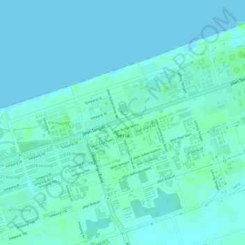
Name: Seria topographic map, elevation, terrain.
Location: Seria, Mukim Seria, Belait District, Brunei (4.60357 114.32437 4.62745 114.34946)
Average elevation: 3 m
Minimum elevation: 0 m
Maximum elevation: 8 m
Thank you for supporting this site ❤️
Make a donation
Make a donation
Other topographic maps
Click on a map to view its topography, its elevation and its terrain.