
High Lane topographic map
Click on the map to display elevation.
About this map
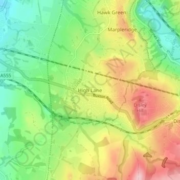
Name: High Lane topographic map, elevation, terrain.
Average elevation: 160 m
Minimum elevation: 87 m
Maximum elevation: 261 m
Other topographic maps
Click on a map to view its topography, its elevation and its terrain.
Etherow Country Park
United Kingdom > England > Stockport > Compstall > Ludworth Houses
Average elevation: 142 m