
Rodmell topographic map
Click on the map to display elevation.
About this map
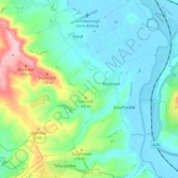
Name: Rodmell topographic map, elevation, terrain.
Location: Rodmell, Lewes, East Sussex, England, United Kingdom (50.81628 -0.03787 50.85197 0.03842)
Average elevation: 47 m
Minimum elevation: -3 m
Maximum elevation: 193 m