
Nyati topographic map
Interactive map
Click on the map to display elevation.
About this map
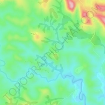
Name: Nyati topographic map, elevation, terrain.
Location: Nyati, Banyo, Mayo-Banyo, Adamawa, Cameroon (6.63188 11.78228 6.67188 11.82228)
Average elevation: 1,169 m
Minimum elevation: 1,105 m
Maximum elevation: 1,322 m