
Lyndon Center topographic map
Interactive map
Click on the map to display elevation.
About this map
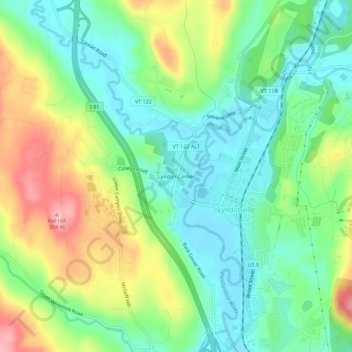
Name: Lyndon Center topographic map, elevation, terrain.
Average elevation: 257 m
Minimum elevation: 206 m
Maximum elevation: 348 m
Other topographic maps
Click on a map to view its topography, its elevation and its terrain.
Egypt
United States > Vermont > Caledonia County > Lyndon > Egypt
Egypt, Lyndon, Caledonia County, Vermont, 05851, United States
Average elevation: 288 m