
Geddes topographic map
Interactive map
Click on the map to display elevation.
About this map
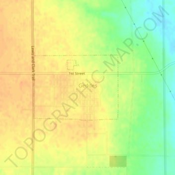
Name: Geddes topographic map, elevation, terrain.
Location: Geddes, Charles Mix County, South Dakota, United States (43.24815 -98.70694 43.25829 -98.68893)
Average elevation: 484 m
Minimum elevation: 461 m
Maximum elevation: 498 m