
Inzá topographic map
Interactive map
Click on the map to display elevation.
About this map
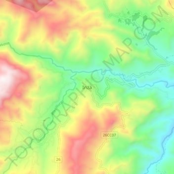
Name: Inzá topographic map, elevation, terrain.
Location: Inzá, Oriente, Cauca, Colombia (2.51002 -76.10440 2.59002 -76.02440)
Average elevation: 1,876 m
Minimum elevation: 1,324 m
Maximum elevation: 2,667 m