
Coura topographic map
Interactive map
Click on the map to display elevation.
About this map
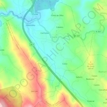
Name: Coura topographic map, elevation, terrain.
Location: Coura, Paredes de Coura, Viana do Castelo, Portugal (41.85630 -8.67539 41.89259 -8.63461)
Average elevation: 210 m
Minimum elevation: 113 m
Maximum elevation: 385 m