
Thank you for supporting this site ❤️
Make a donation
Make a donation
Nagle topographic map
Click on the map to display elevation.
Thank you for supporting this site ❤️
Make a donation
Make a donation
About this map
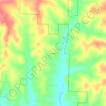
Name: Nagle topographic map, elevation, terrain.
Location: Nagle, Texas County, Missouri, United States (37.14672 -91.83932 37.18672 -91.79932)
Average elevation: 374 m
Minimum elevation: 329 m
Maximum elevation: 425 m
Thank you for supporting this site ❤️
Make a donation
Make a donation