
Thank you for supporting this site ❤️
Make a donation
Make a donation
Bahati topographic map
Click on the map to display elevation.
Thank you for supporting this site ❤️
Make a donation
Make a donation
About this map
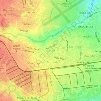
Name: Bahati topographic map, elevation, terrain.
Location: Bahati, Nairobi, Nairobi County, 00101, Kenya (-1.31305 36.83600 -1.27305 36.87600)
Average elevation: 1,638 m
Minimum elevation: 1,604 m
Maximum elevation: 1,660 m
Thank you for supporting this site ❤️
Make a donation
Make a donation