
Gemeinde Mödling topographic map
Interactive map
Click on the map to display elevation.
About this map
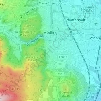
Name: Gemeinde Mödling topographic map, elevation, terrain.
Location: Gemeinde Mödling, Bezirk Mödling, Lower Austria, 2340, Austria (48.06282 16.24814 48.09397 16.30932)
Average elevation: 302 m
Minimum elevation: 194 m
Maximum elevation: 599 m