
Caloto topographic map
Interactive map
Click on the map to display elevation.
About this map
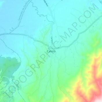
Name: Caloto topographic map, elevation, terrain.
Location: Caloto, Norte, Cauca, Colombia (2.99370 -76.44852 3.07370 -76.36852)
Average elevation: 1,158 m
Minimum elevation: 1,006 m
Maximum elevation: 1,901 m