
Centreville topographic map
Interactive map
Click on the map to display elevation.
About this map
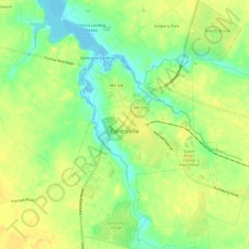
Name: Centreville topographic map, elevation, terrain.
Location: Centreville, Queen Anne's County, Maryland, United States (39.02143 -76.08002 39.06485 -76.04112)
Average elevation: 15 m
Minimum elevation: -2 m
Maximum elevation: 24 m