
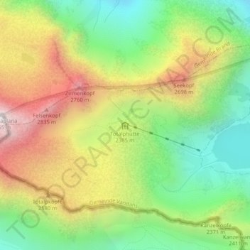
Totalphütte topographic map
Interactive map
Click on the map to display elevation.
About this map
Name: Totalphütte topographic map, elevation, terrain.
Average elevation: 2,331 m
Minimum elevation: 1,858 m
Maximum elevation: 2,943 m
Other topographic maps
Click on a map to view its topography, its elevation and its terrain.
Lünersee
Autriche > Vorarlberg > Bezirk Bludenz > Gemeinde Vandans
Lünersee, Gemeinde Vandans, Bezirk Bludenz, Vorarlberg, Autriche
Average elevation: 2,106 m