
Río Bravo topographic map
Interactive map
Click on the map to display elevation.
About this map
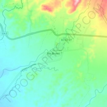
Name: Río Bravo topographic map, elevation, terrain.
Location: Río Bravo, Suchitepéquez, Guatemala (14.35734 -91.36202 14.43734 -91.28202)
Average elevation: 161 m
Minimum elevation: 89 m
Maximum elevation: 373 m